Five Epic Tenerife Hikes: At Least One of These Should Be on Your Bucket List
This post may contain affiliate links. If you click one, we may earn a commission at no cost to you.
Tenerife, the largest of the Canary Islands, lures outdoor enthusiasts with its diverse landscapes and trails.
From challenging ascents over volcanic terrain to serene strolls along coastal paths, the island offers a rich variety of hiking experiences to both the outdoor fanatic and a family with a toddler, as well as everyone in between.

The crown jewel of Tenerife’s hiking scene is no doubt the Teide Volcano, visible from most locations of the island. However, the island has some other almost just as fascinating hiking trails.
Here’s my selection of the top island’s hiking trails, and I suggest you pick at least one for your bucket list.
I’ve done three of them and will do the Arc of Guam the next time I go to Tenerife. And I’ll probably skip the GR131 as I don’t feel “ultra” enough to tackle it… but you might be.
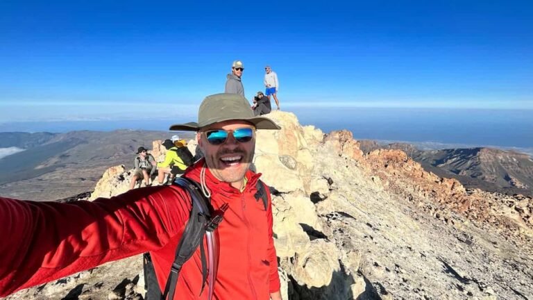
01 | Teide Volcano Ascent
Mount Teide is not only the most majestic landmark in Tenerife, but it is also the highest peak in Spain. Ascending it is a nice two-in-one move that gives you extra bragging rights!
Recommended Route
Trekking up from Montaña Blanca parking lot appears to be the most popular route. It’s certainly the shortest.
However, I always recommend starting at the Roques de Garcia trail and ascending past the Pico Viejo volcano crater. And then descend towards Montaña Blanca.
This allows you to see Teide from several “angles”, and experience two different trails. You also pass and get to see different natural objects when doing both routes, e.g, the Pico Viejo crater and the Ice Cave.
Permits
Don’t fret if you don’t get the most popular Teide permit that allows you to ascend the 700m trek from the Cable Car upper station to the peak in a two-hour-slot betweeen 9AM to 6PM. You have to book these at least 2,5-3 months in advance.
The permits for the 6AM-9AM and 6PM-10PM slots are usually available for the next day.
Access without a permit
If you really want to ascend the peak during daytime hours but don’t have the permit, you can select one of the many tours on Get Your Guide. Just be sure to select a tour that includes the peak ascent, as most just say that you can ascend to the peak if you have the permit, but without the permit you’ll get to see only the trail around the cable car station. For example, this tour includes the peak access permit between 9AM and 6PM.
02 | Ventanas de Guimar 1000 Windows Trail

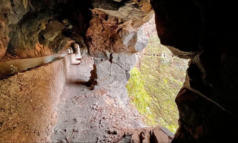
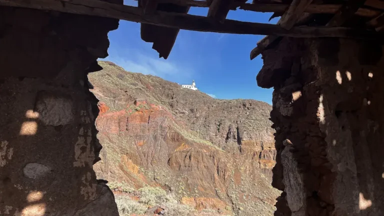
The hike along the Ventanas de Guimar, also known as the 1000 Windows Trail, is an experience to remember. Both because of the views, but also the extreme emotions most people experience.
A large part of the trail goes through abandoned water transportation tunnels above the town of Guimar. It’s an easy trail if you just do the tunnel section and turn back. If you decide to do the full circular trail, it gets hard fast.
We also have a detailed overview of the Ventanas de Guimar trail.
What to Bring
- Headlamp or flashlight: Essential for the darker sections through the tunnels.
- Powerbank: You will certainly take many pics, and, if you’ll also use your phone as a flashlight, the battery might die fast.
- Consider a helmet if you have easy access to one, as the tunnel ceilings are low. Bicycle helmets will do.
Safety First
The trail is officially closed. If you decide to do it and need to be rescued, it’s likely that your insurance will not cover these costs.
Trail map and GPX file download
03 | TF-8 Afur Circular Route in Anaga

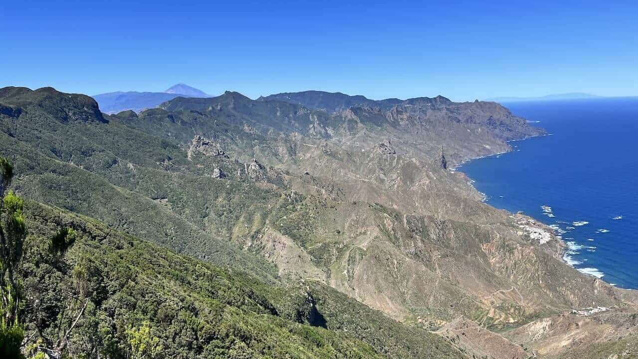
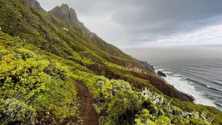
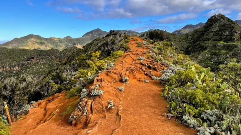
The TF-8 Afur Circular Route is one of the best routes in the Anaga Rural Park, which gives you a nice “slice” of what Anaga has to offer.
You’ll get to see the mountains, the laurel forest, a local town, villages and architecture, a wine region, and some nice volcanic geological formations.
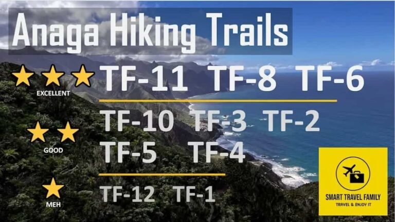
If you have the time to do just one trail in Anaga, this is probably it. Do also check out the TF-6 and TF-11 trails which are close contenders for the best Anaga trail “prize”.
We have descriptions of all of them our our website:
You might also be interested in an overview of all official Anaga trails.
Trail map and GPX file download
04 | Arc of Guam or El Agujero

This is probably the most extreme hike in the selection as there are some sketchy bits to reach the arc.
The Arc of Guam trail is probably the most coveted destination for those who plan to hike in the beautiful region around Los Gigantes and the Teno National Park.
The trail starts in either Tamaimo or El Moiledo. It is recommended to use a navigation app to not get lost on your way to the arc. See directions on the Wikiloc app.
05 | GR 131 Arona – La Laguna

The GR 131, known as the Chasna – Camino Natural Anaga, is a captivating trek that spans across several very diverse landscapes of Tenerife.
The very long trail – 86 km or 53 miles – lets you see Vilaflor, the highest inhabited village in Spain, walk on the edge of Teide’s original crater, see Paisajes Lunar, and many other locations and sights of note.

Depending on which direction you take the trail, the journey begins/ends at La Esperanza, just outside La Laguna in the North of Tenerife. The other trailhead is located in the island’s southern town of Arona.
To find directions and tips for this trail, search for GR131 which is the official trail number.
Really Essential Gear for Hikes in Tenerife

When we’re setting out for a hike in Tenerife, there’s some gear that’s absolutely essential for comfort and enjoyment, but also safety.
- Appropriate Clothing: Anywhere you hike in Tenerife you’re in or close to the mountains and weather can change quickly. Layering is key. We always pack a lightweight, water-resistant jacket, even if the sky is clear in the morning.
- Footwear: Sturdy footwear is highly recommended. However, consider leaving your heavy hiking boots at home and consider opting for something lighter like Salomon or Hoka hiking/trail running shoes. Your feet (and your fellow travelers’ noses will thank you in the evening).
Here’s a quick checklist of gear we consider non-negotiable for a day hike in Tenerife:
| Essential | Why It’s Needed |
|---|---|
| Water | Even on the Teide plateau it can get very hot. At least take your water bottle, but we preferred the “camelbak” drinking systems. |
| Sun Protection | If you’ve never been to Tenerife, you won’t believe how much the sun “bites”. Better safe than sorry. You’ve been warned. |
| Snacks | Hiking in Tenerife can involve overcoming quite many meters/feet of altitute. Even if you’re an experienced hiker, we recommend you take along not only regular food but an energy gel or two to “pick you up” in a hard moment and avoid a “woozy” head that might make you slip and hurt yourself. |
| Power bank | Almost everyone uses mobile apps for navigation these days. However, between snapping pictures and constantly using GPS most phones threaten to “die” by noon. A power bank is worth its weight. |
| First Aid Kit | For unexpected minor injuries. Bruises due to slips, cuts on cacti, and blisters are a regular nuisance. Better to be prepared. |
| Walking Sticks | Due to the regular ascents and descents even fit hikers appreciate walking sticks. These can be rented also for just 1-2 days. |
Frequently Asked Questions
When planning your adventure in Tenerife, it’s essential to have reliable hiking information. We want to ensure you have all the necessary tools and know-how to navigate the trails with confidence.
Where can I find a reliable hiking map of Tenerife online?
The TenerifeOn website seems to have the most decent online map of hiking trails. However, it’s not perfect as it only lists official and open hiking trails, and omits, for example, the Ventanas de Guimar trail and a section of the TF-6 trail.
If you will hike in the Anaga Rural Park, its Tourist Information Centre has a nice overall map of the trails. They sometimes are stocked up on printed maps for individual trails, but more often than not these have run out.
How to best navigate Tenerife trails?
The best strategy is to select a trail you’ll hike, and then download GPX coordinates for that particular trail or just find the trail on the many mobile apps like AllTrails, Wikiloc, Komoot, etc.
How to make sense of Tenerife hiking trails system?
All official Tenerife’s trails have a trail number, that’s shown in a map of the nature park. Anaga, Teide and Teno national parks have their own number system. Decide in which park you’ll hike, and then get acquainted with the particular park’s system. For example, in Anaga the trails are number from TF-1 to TF-12. In the Teide National Park they are numbered from S-1 to S-41.
Unfortunately, there are way too many bloggers out there who just do a segment of a trail and then present it as a unique separate trail.
I highly recommend joining the Tenerife Hiking Community Facebook group before your visit to the island to clarify any questions. Please have the courtesy to use the Search first before you ask a question as it might have been answered very recently already. Do also check out the pinned posts in the group.
